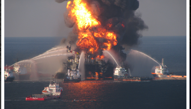
 Sometimes it’s impossible to see the changes in the world around you from the ground. You have to get a different perspective. That’s exactly what SkyTruth (www.skytruth.org) a local nonprofit accomplishes with their compelling satellite photographs showing environmental impacts from around the world. SkyTruth’s mission is to empower citizen scientists, government bodies and research organizations with knowledge of the true impact that humans have on the world around them through meticulously catalogued, scientifically credible images.

Last year SkyTruth launched FracFinder, a multi-stage project to track fracking sites using a combination of aerial and satellite imagery. SkyTruth employees and over 200 volunteers analyzed images spanning 5 years of time and the entire state of Pennsylvania to map the growth of well sites. Over 90,000 image analysis tasks were performed to produce this rigorously catalogued record of the expansion of the industry, from only 60 sites in 2005 to 1,410 in 2010. The project has recently expanded to begin mapping Ohio drilling sites and the data collected will be
invaluable in researching the environmental and public health effects of this practice.

The data sets produced by SkyTruth continue to be critical to peer reviewed studies analyzing the impact of mountaintop removal mining on fish populations. These studies will be used by regulatory agencies to make environmental and water use policies for the future.
SkyTruth shines a light on the true impact that our actions are having on the environment and present that information in formats anyone can understand. Their tracking methods and data analysis techniques

are paving the way towards a future where everyone can see the consequences of man’s actions on the environment and take action. Ultimately, SkyTruth’s goal is to make the tools, imagery, and data they use commonplace and accessible to the public. Just the way Google and other search engines provide access to the world’s knowledge stored on the internet, skytruthing will effectively be a search engine for environmental change. If you can see it, you can change it.